Archive for June 2022
We’re off!
MINUTES AGO OSPREY WAS LAUNCHED, uneventfully, at Cap Sante Marina’s travel lift. Today, Julie and I will head for lovely Sucia Island, once a hotbed of smuggling activity, where we’ll do some kayaking and hiking. Then, first thing tomorrow morning we’ll motor eight miles across Boundary Pass, and cross the border (at about latitude 48.735276, longitude -123.121060). Canadian Customs is another seven miles to the west, Bedwell Harbour, on Pender Island.
You can follow our progress on Twitter, and (if I’ve got our satellite beacon set up correctly, not a certain thing), see our location on a map which is updated every 10 minutes. And if you click on this link, it should take you to a map that will allow you to send us satellite messages. Cool, huh?
Most likely, I won’t be posting a lot of stories while the trip is in progress. WI-FI connections are spotty on the east side of Vancouver Island, and almost non-existent on the west side. So, photos and stories won’t be available here until I get back, in mid-August.
* * *
In the days leading up to our departure, Julie practiced assembling and disassembling her new origami-like Oru kayak. It was not an intuitive operation, and required a trip to REI to get the procedure dialed in. Fortunately, Julie’s dog, Buster, was available to supervise.
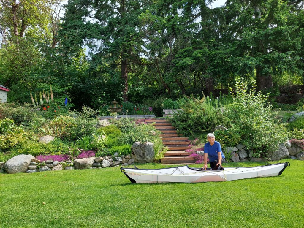
Practice disassembly of Oru (Elena Ruano Diez)
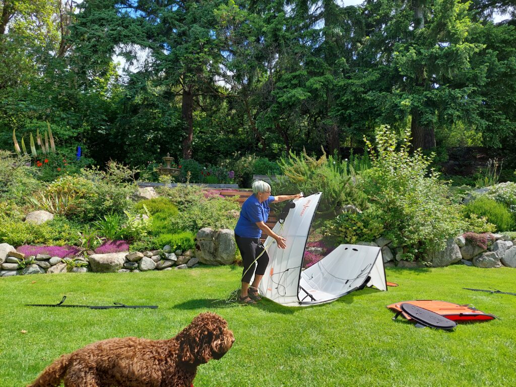
Folding the Oru (Elena Ruano Diez)
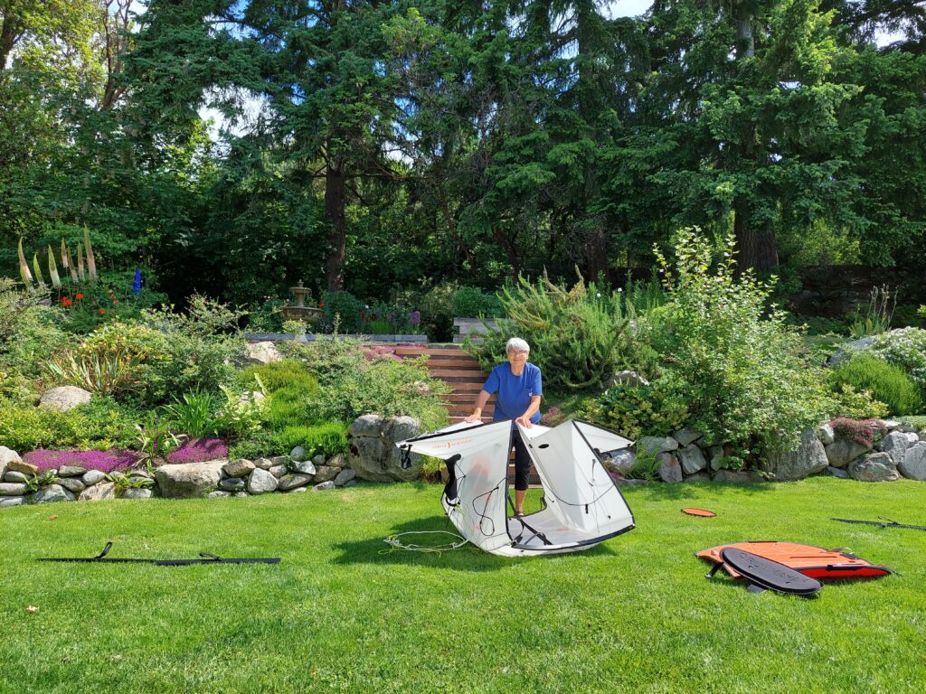
More folding (Elena Ruano Diez)
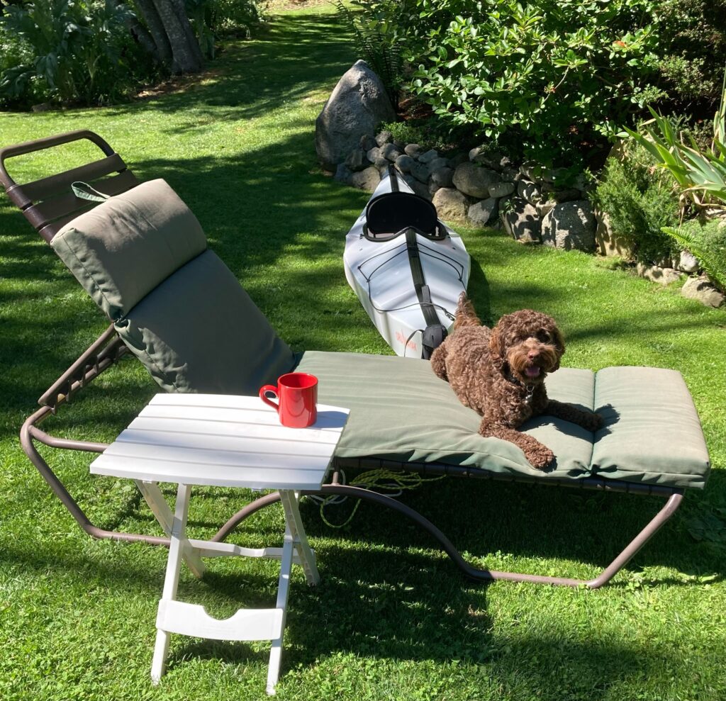
… and reassembled, ready for trip (Elena Ruano Diez)