Archive for May 2022
Shakedown cruise
THERE ARE MORE THAN 200 ITEMS remaining on my checklist and I’m crossing them off one by one: replace the old flares, check the CO2 in the self-inflating life vests, pack PB Blaster solvent, U.S. and Canadian flags, spare anchor, clothes pins, Moleskin, fillet knife, wind gauge, and wing nuts. Re-splice the anchor rode. Bring washers, fuses, Rescue Tape, clam shovel, cameras, sponges, insect repellent, freeze-dried food … and do a shakedown cruise with Julie Burman, who will be my trip partner from Anacortes, Wash. to Port Hardy, B.C.
Julie and I had to get our systems dialed in before setting off on a 400-mile, two-week voyage up the east coast of Vancouver Island (with side trips through Desolation Sound and the Broughton Archipeligo), in a boat with a cabin not much larger than a V.W. camper. It’s a tight space, and I have been known to be impatient with lubberly crew members. Not saying that’s a regular occurrence, but there is potential for crossed wires and strained friendships.
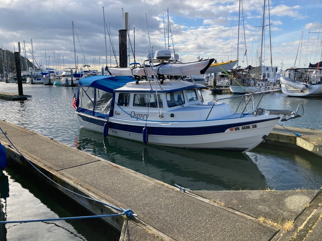
Osprey at the dock, kayaks loaded, Cap Sante Marina (Julie Burman)
So, in mid-May we loaded kayaks on Osprey’s roof, and set off on a three-day, 103-mile jaunt through the San Juan Islands, with two nights at anchor in Sucia Island State Park’s Shallow Bay.
There were so many things for us to work on, so little time. Julie needed to get familiar with the C-Dory—starting the engines, safety procedures, location of life vests. Plotting a course, steering and adjusting the boat’s trim, emergency communications with other vessels and the Coast Guard via VHF radio and satellite locator beacons. Checking anchoring depths with sonar. Anchoring with at least 4:1 scope (the ratio of deployed anchor line and chain to the depth of the water). Folding the dinette table down into a berth. Stowing supplies, cooking on the Wallas diesel stove. I needed to practice the tricky mechanics of launching and retrieving our kayaks on Osprey’s roof.
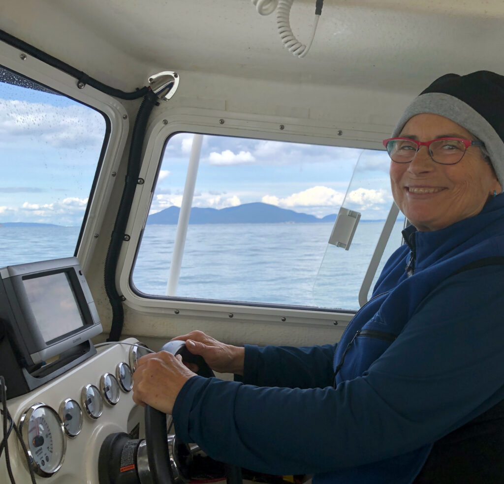
Julie at the helm
Setting out from Cap Sante Marina, in Anacortes, we charted a course south through the Swinomish Waterway, out into Skagit Bay and through Canoe Pass. Julie had the conn. We crossed busy Rosario Strait to Lopez Pass, between Decatur and Lopez Islands, and wound our way north and west through narrow Pole Pass, between Orcas and Crane Islands. And then up President Channel on the east side of Orcas, and across Boundary Pass to Sucia Island.
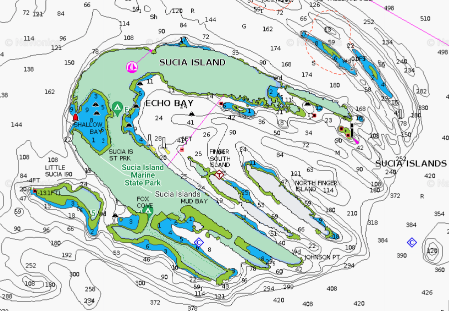
Sucia Island
Shallow Bay has at least eight mooring buoys but we wanted the calmest part of the bay to practice our maneuvers. Fortunately, Osprey’s is very shallow draft—she draws under a foot with the engines raised—and we were able to get in close to the southeast shore and anchor in about five feet of water. Great spot to practice launching and retrieving the kayaks, and for Julie to get the feel of her new 12-foot folding, origami-like Oru.
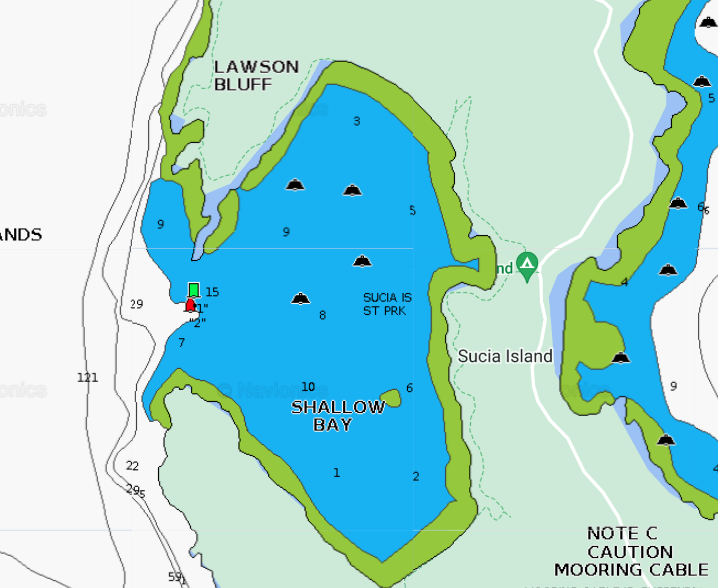
Shallow Bay
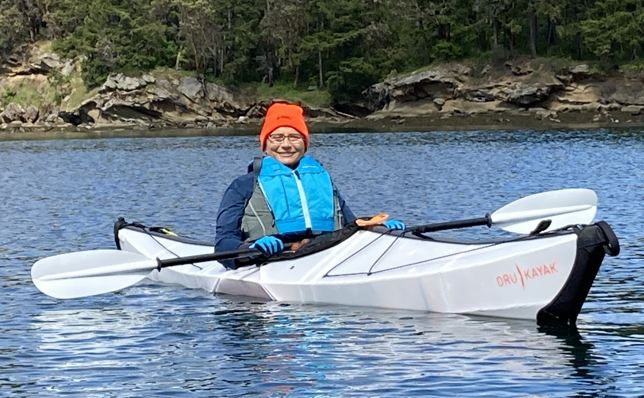
Julie in her new 12-foot Oru Bay folding Kayak, Shallow Bay
After landing her Oru on the south shore of Shallow Bay, Julie went for a short hike, iPhone camera in hand. First stop flowers. Of course.
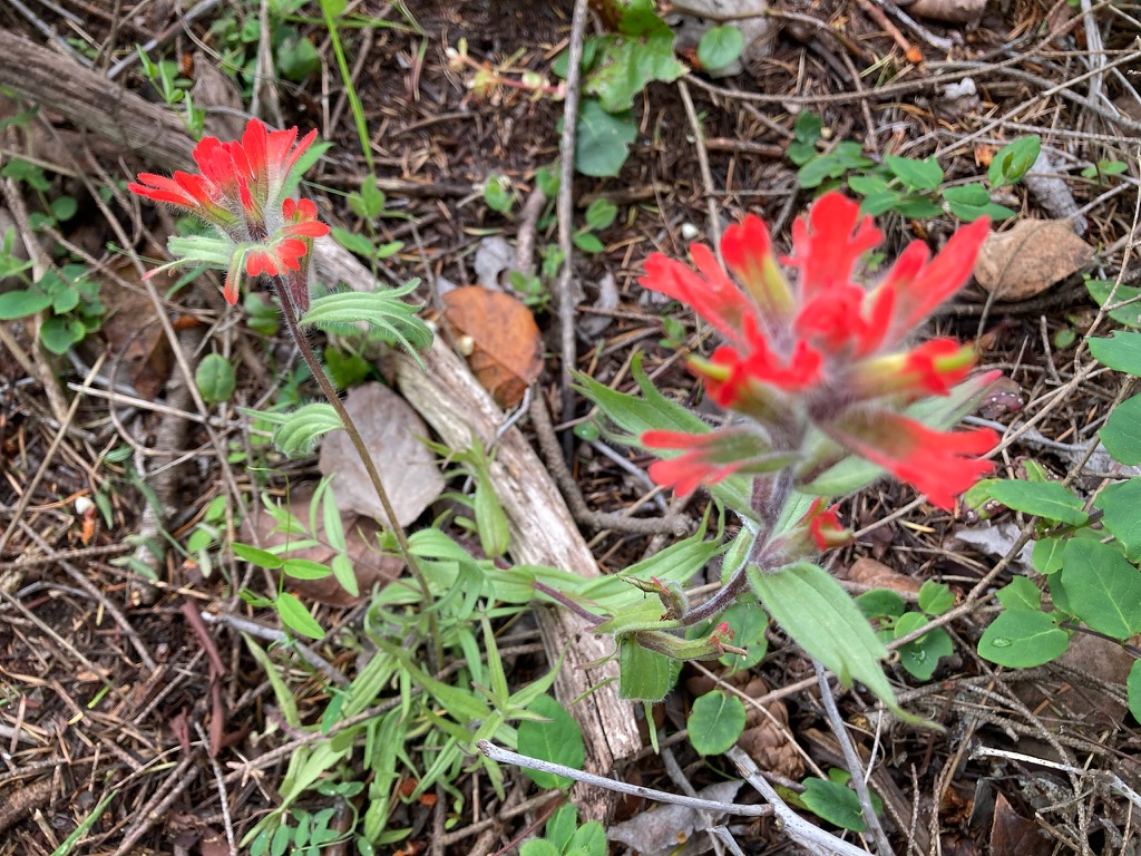
Indian paintbrush. Also yellow and white camas, honeysuckle, calypso orchids, chocolate lilies, and mock orange near Sucia’s trails. (Julie Burman)
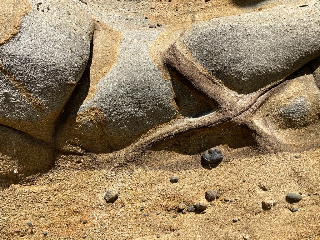
Sandstone (Julie Burman)
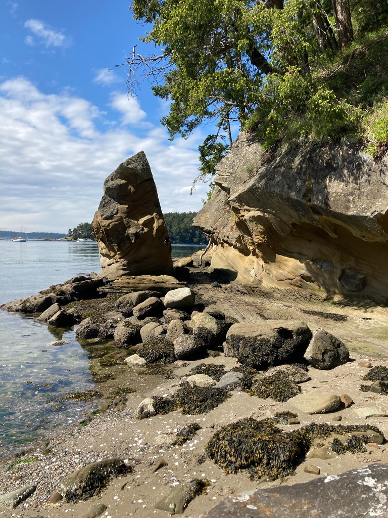
Shallow Bay shoreline (Julie Burman)
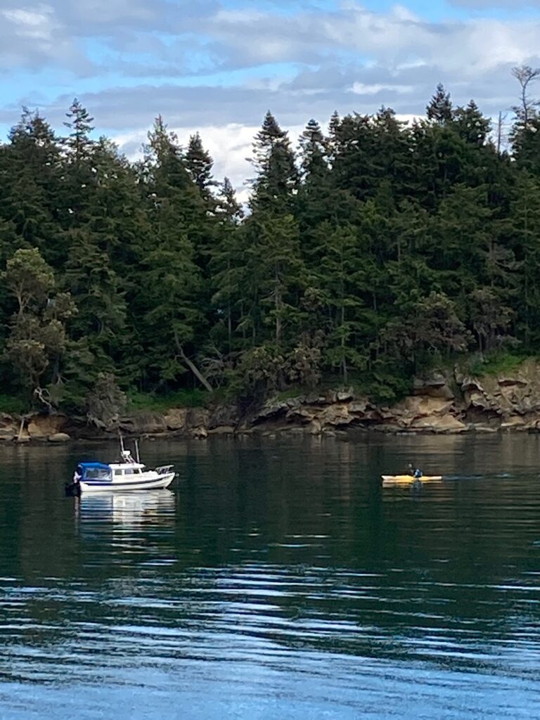
Osprey at anchor in Shallow Bay, Andy paddling toward her in Eddyline Equinox kayak (Julie Burman)
Meanwhile, at the same time we were concentrating on all these little details essential to sea-going harmony, back on Vashon Island Julie’s family—husband Bob, Spanish exchange student Elena, and resident canine Buster—were forlorn. Buster bravely tried to fill the gaping void Julie had left behind her.
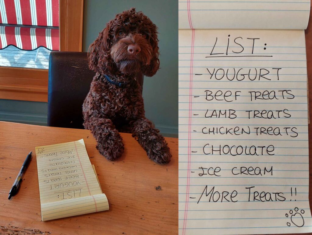
“Okay people, here is your grocery list. Don’t forget the bags.” (Elena Ruano Diez and Bob Sargent)
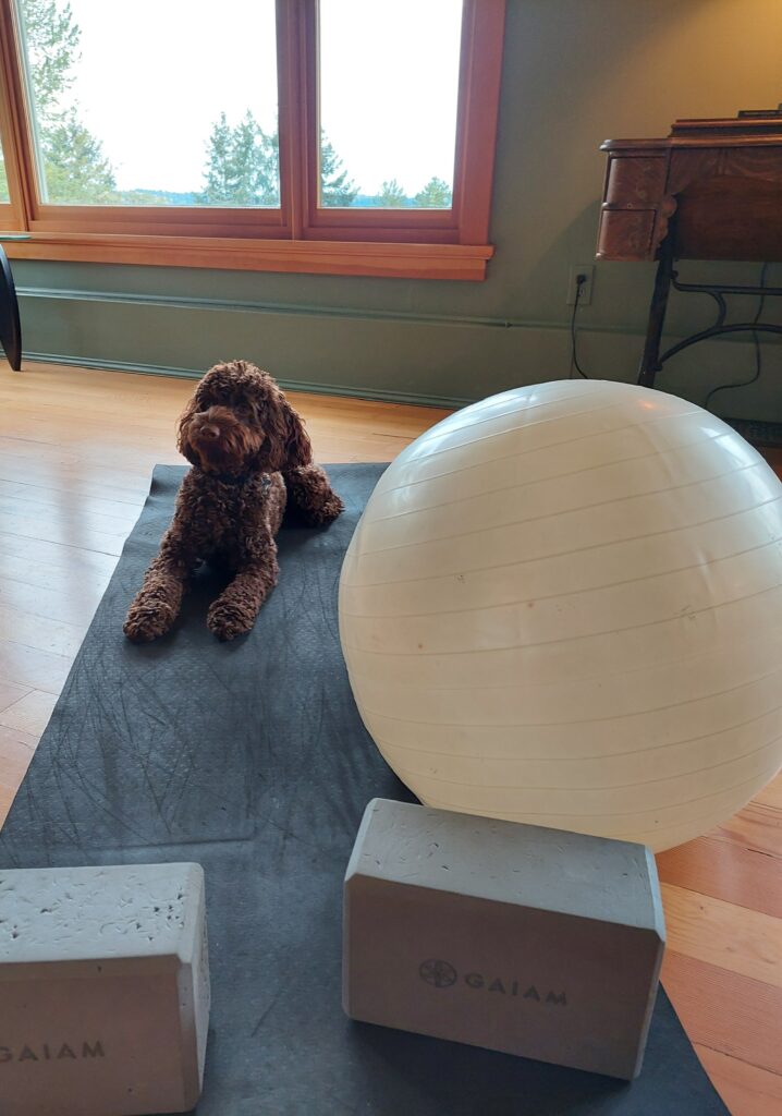
“Yoga and stretches make my day much better and calmer. I love having quiet mornings.” (Elena Ruano Diez and Bob Sargent)
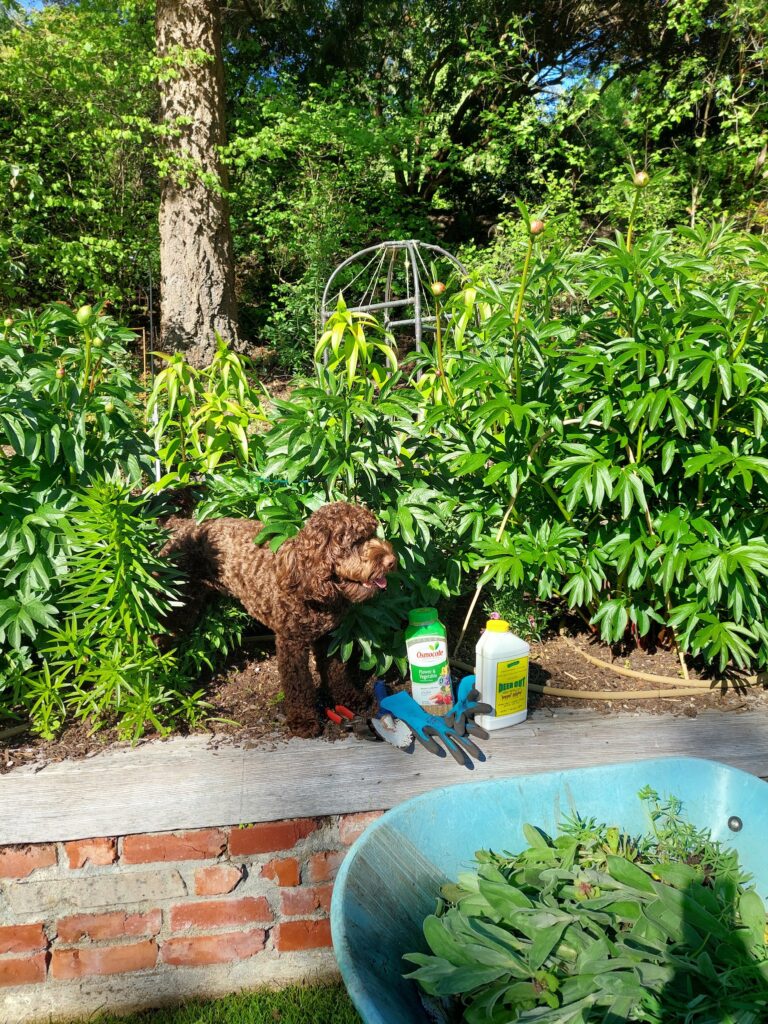
“A weeded bed is a sight to behold. Nice day to care for my plants.” (Elena Ruano Diez and Bob Sargent)
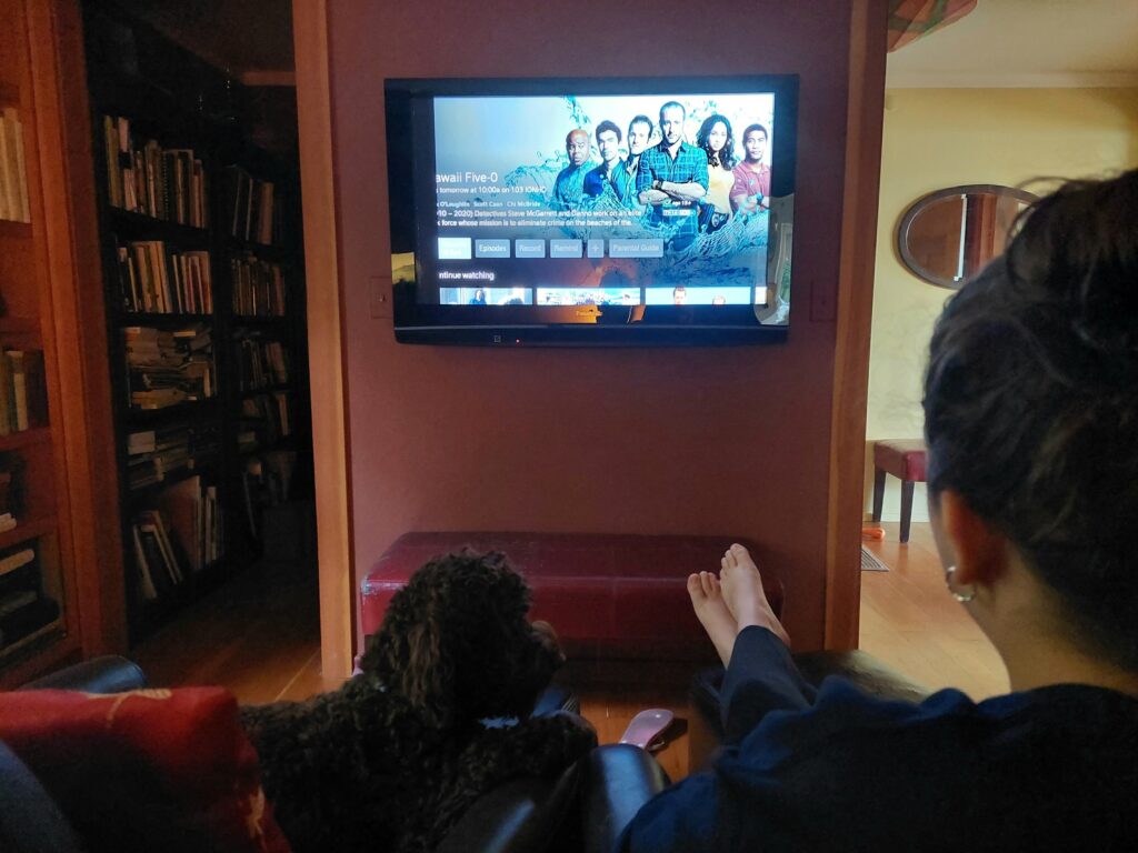
“Do you think Wo Fat will be captured in this episode?” (Elena Ruano Diez and Bob Sargent)
Vancouver Island circumnavigation
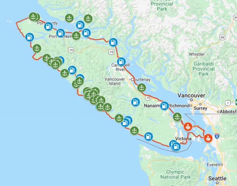
Osprey’s proposed route around Vancouver Island, July–August 2022. Click map for details (Google Maps)
TWO HUNDRED AND THIRTY YEARS ago, 38-year-old Spanish explorer Dionisio Alcalá Galiano and his crew became the first white people to demonstrate that what we now know as Vancouver Island is in fact … an island. In the spring and summer of 1792, the Spanish mariners proved this point by sailing around the enormous body of land, counterclockwise, from Nootka Sound on the island’s west coast.

Dionisio Alcalá Galiano (Wikipedia)
Indigenous peoples, who had lived on the great island for thousands of years, were likely unimpressed by this “discovery.” But still—navigating through miles of twisting waterways, contrary winds and powerful, reversing tidal currents in 46-foot sailing ships with no motors or maps—it was a remarkable feat of seamanship. Along the way, the Spaniards had an unplanned but amicable meeting with British explorer George Vancouver, who was also circling—in the opposite direction—the island that eventually bore his name.
This summer, Osprey, a 22-foot C-Dory with twin 50-horsepower outboards, fog-piercing radar, and electronic navigation systems out the wazoo, will attempt a 950-mile circumnavigation of the world’s 43rd largest island, in the same counterclockwise direction taken by Galiano. For the first third of the voyage—from Anacortes, Wash. to Port Hardy, B.C.—skipper Andy Ryan will be joined by his longtime friend Julie Burman. After that, he’ll be on his own.
Starting June 30, you can follow our progress and message us—on Twitter; and on a web map updated by satellite every 10 minutes.
Galiano, incidentally, lived for 12 more years after his circumnavigation of Canada’s big western island. By October 18, 1805, the now 50-year-old master mariner had risen to the rank of commodore, and was in command of a 76-gun ship of the line—part of a combined French-Spanish armada in the service of Napoleon Bonaparte. Off Cape Trafalgar, on the southwest coast of Spain, the French and Spanish encountered a smaller British fleet commanded by Vice Admiral Horatio Nelson. In the ensuing battle, Galiano was killed by a cannon ball. The British fleet famously won that contest; but Lord Nelson—later lionized as hero of the engagement—also perished, shot down on deck by a French sniper.
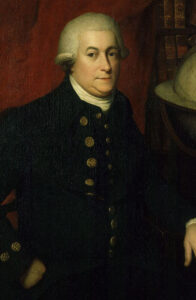
A portrait from the late 18th century by an unknown artist, believed to depict George Vancouver (Wikipedia)
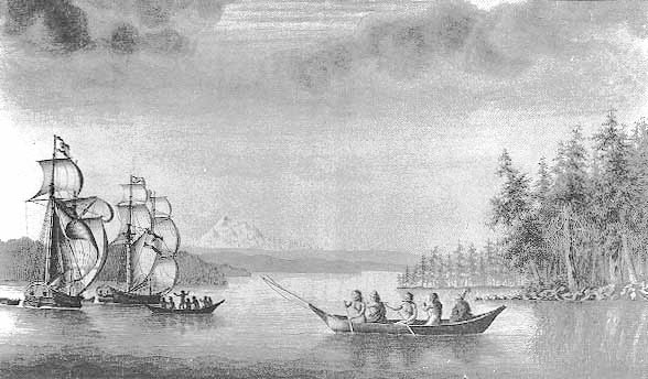
Galiano’s twin 46-foot schooners Mexicana (left) and Sutil during the 1792 voyage around Vancouver Island. Mount Baker is in the background. (José Cardero, 18th Century Spanish artist)
