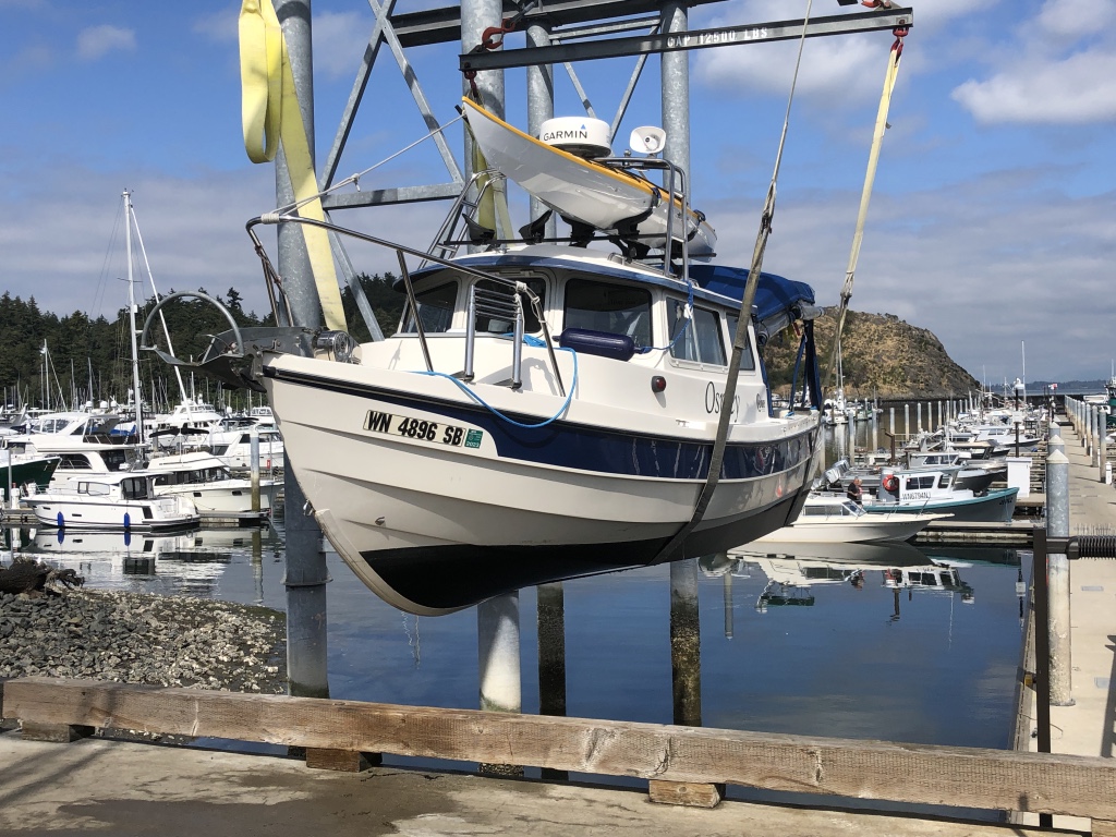
Go/no go decision at Port McNeill
Red indicates areas with gale warnings
UNSEASONABLY BAD WEATHER off Vancouver Island’s Cape Scott, and from the tip of the island down the northwest coast, has been the norm for the past two weeks. For a few hours Friday it looked as though there might be a two-day weather window that would allow Osprey to make a 112-mile dash around the cape to the nearest port, Winter Harbour. I got up at 4 a.m. Saturday, started the engines … and then read the updated weather report:
The Marine Weather Forecast In Detail:
Environment Canada Forecast Issued: 400 AM PST
GALE WARNING IN EFFECT
Winds…Wind Northwest 10 To 20 Knots Except Northwest 20 To 30 South Of The Brooks Peninsula. Wind Becoming Westerly 15 Early This Morning Then Increasing To Northwest 15 To 25 Sunday Morning Except Northwest 20 To 30 South Of The Brooks Peninsula Sunday Morning And Afternoon And Northwest 30 To 35 South Of The Brooks Peninsula Tuesday Late In The Day.
Waves … Seas 1 To 2 Metres Building To 2 To 3 Sunday Evening.
Monday … Winds Northwest 20 To 30 Knots Becoming Northwest 25 To 35 Late In The Day.
Tuesday … Winds Northwest 20 To 30 Knots Becoming Northwest 25 To 35 Late In The Day.
Wednesday … Winds Northwest 20 To 30 Knots Becoming Northwest 25 To 35 Late In The Day.
In plain U.S. English that means sustained winds as high as 40 miles per hour, with wave heights up to 10 feet.
My friend Harvey sent me a picture of what the wind was doing along my planned route. He wrote, “Andy. Here’s the weather. Icky.”
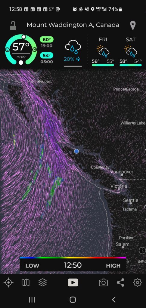
Gale force southwest winds off Vancouver Island coast. Blue dot shows Osprey’s location
So, aaack! As a Kipling character lamented, in The Elephant’s Child, “This is too buch for be!” No need to intentionally sail into a perfect storm, and I was running out of time to wait it out.
I turned Osprey around and headed south, back down the island’s east coast— where the weather was surprisingly calm. Running with radar in a little fog at the north end of often-scary Johnstone Strait, but clearer as I went further south at close to wide open throttle, 25 miles per hour, now suddenly very eager to get home. All the way down Johnstone Strait and through turbulent Seymour Narrows, with the current running at 9 mph against me. No problem for my agile little boat. Refueling at Campbell River, past Comox and Nanaimo, to a pretty cove south of Dent Rapids, where I anchored in 10 feet of water, after a 203-mile Osprey-record-shattering run. Whew! Madness.
Yesterday, Sunday, an easy 70 more miles back to our starting point, Cap Sante Marina, after a wireless check-in with U.S. Customs, using the handy CBP Roam app. The marina assigned me to Slip 66.
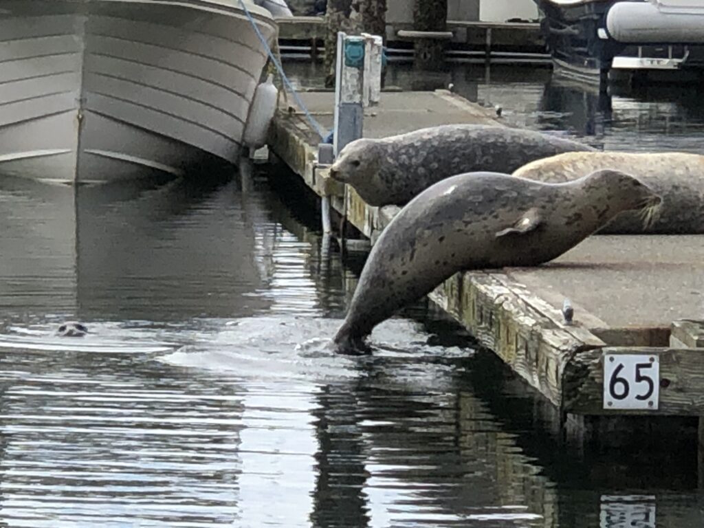
As you can see, slip 65 was taken. A few minutes later, one of the seals gave birth—on the dock! She growled at anyone who came close to her new baby.
That concludes this 889-mile adventure. Shorter than I had hoped for, but tremendously rewarding, and certainly safer than what the weather gods had planned for me if I’d tried to go around the west side of the island.
Health, scheduling, and finances permitting, I’ll give it another try, next year.
As a famous pig said, frequently, “Th-Th-The, Th-Th-The, Th-Th … That’s all, folks!”