Uncategorized
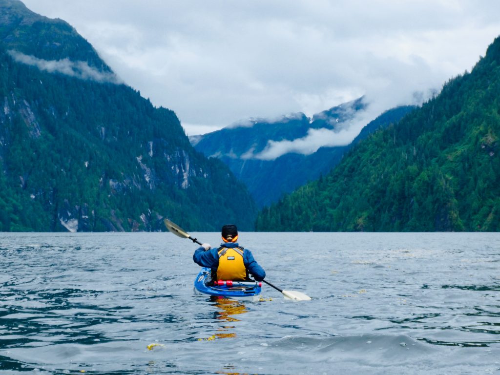
Misty Fiords passage
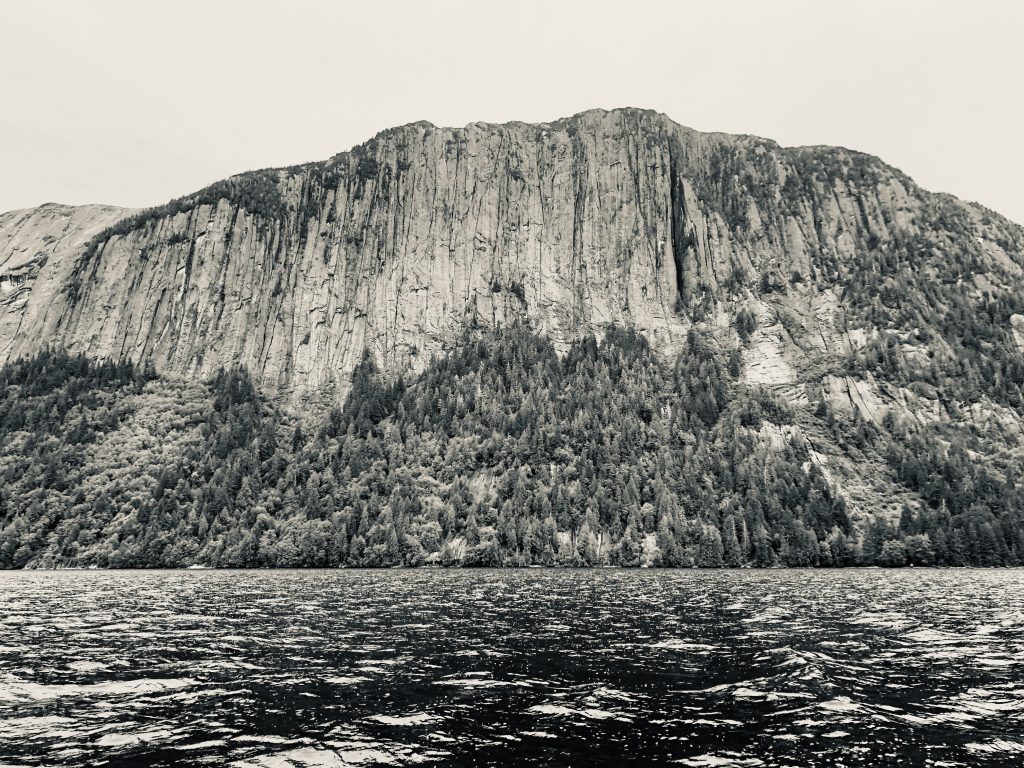
Granite cliff in Punchbowl Cove, Misty Fiords
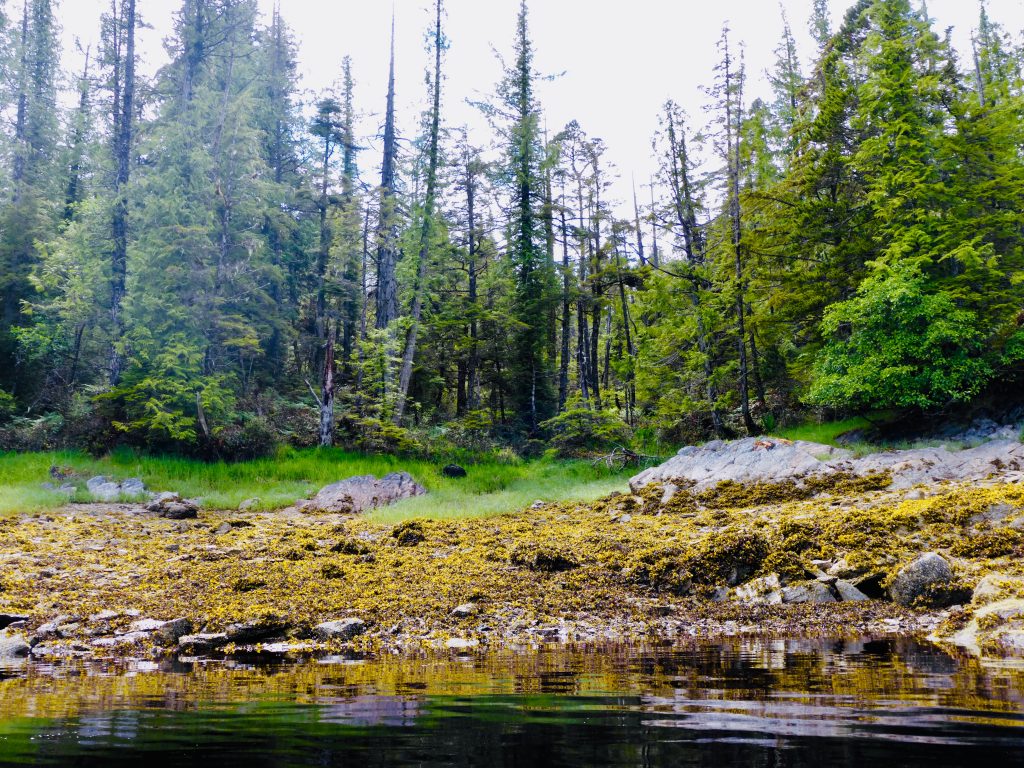
BILL AND I LEFT KETCHIKAN Saturday, June 15, heading counterclockwise in a 3-foot chop around big Revillagigedo Island, into Behm Canal and Misty Fiords National Monument.
Our first night was at Winstanley Anchorage, where getting the hook set was complicated by a full moon bringing a nearly 20-foot tidal range. Anchoring has been a tricky business for us in the deep, steep-sided inlets of Misty Fiords. But in each of the places we’ve anchored, we have been able to find areas shallow areas where we felt secure.
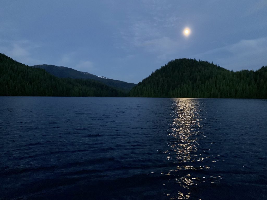
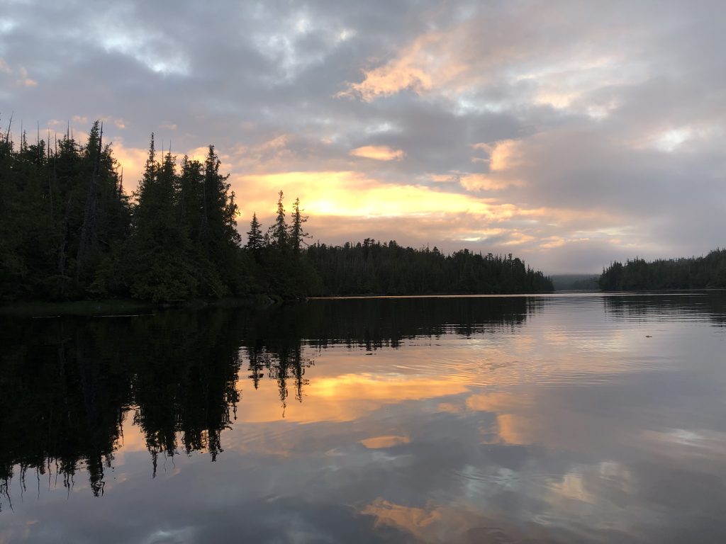
Winstanley Anchorage under waxing gibbous moon. (Bill Ryan)
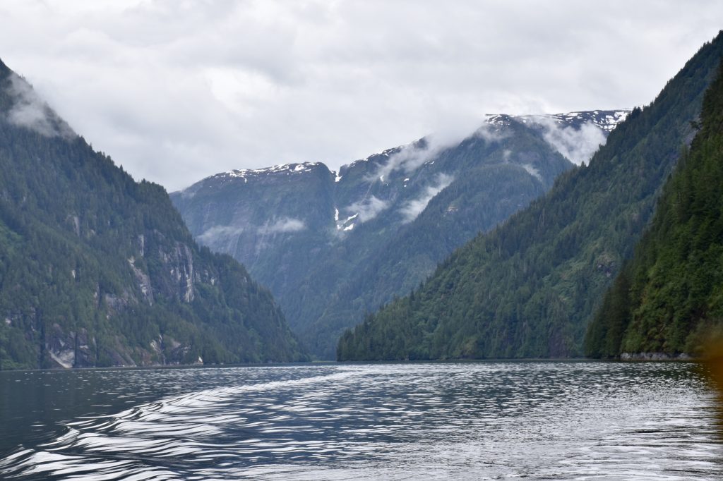
View into Walker Cove. (Bill Ryan)

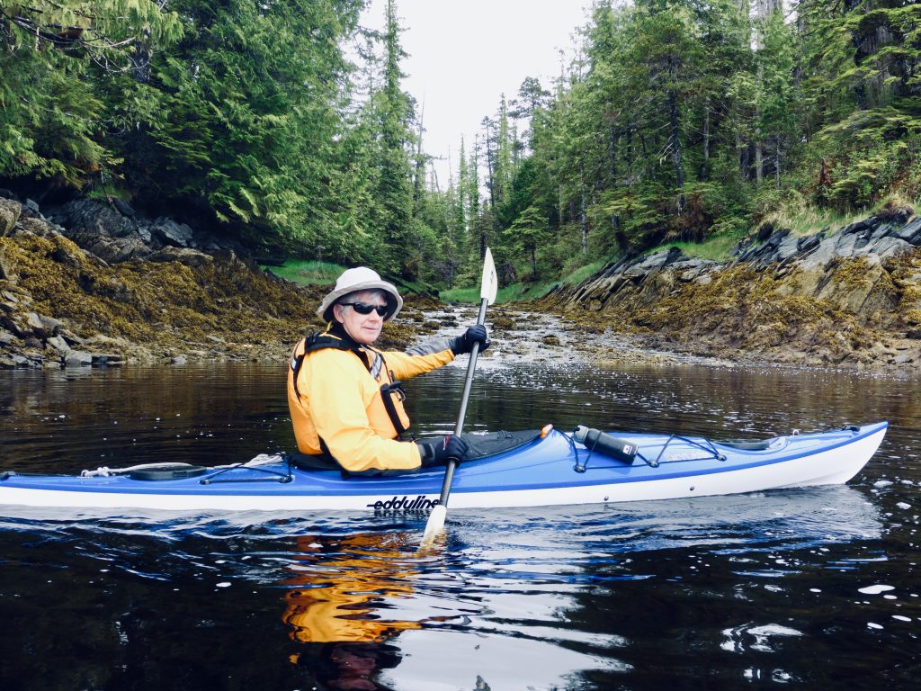
In Walker cove. (Bill Ryan)

In Walker Cove

Walker Cove anchorage
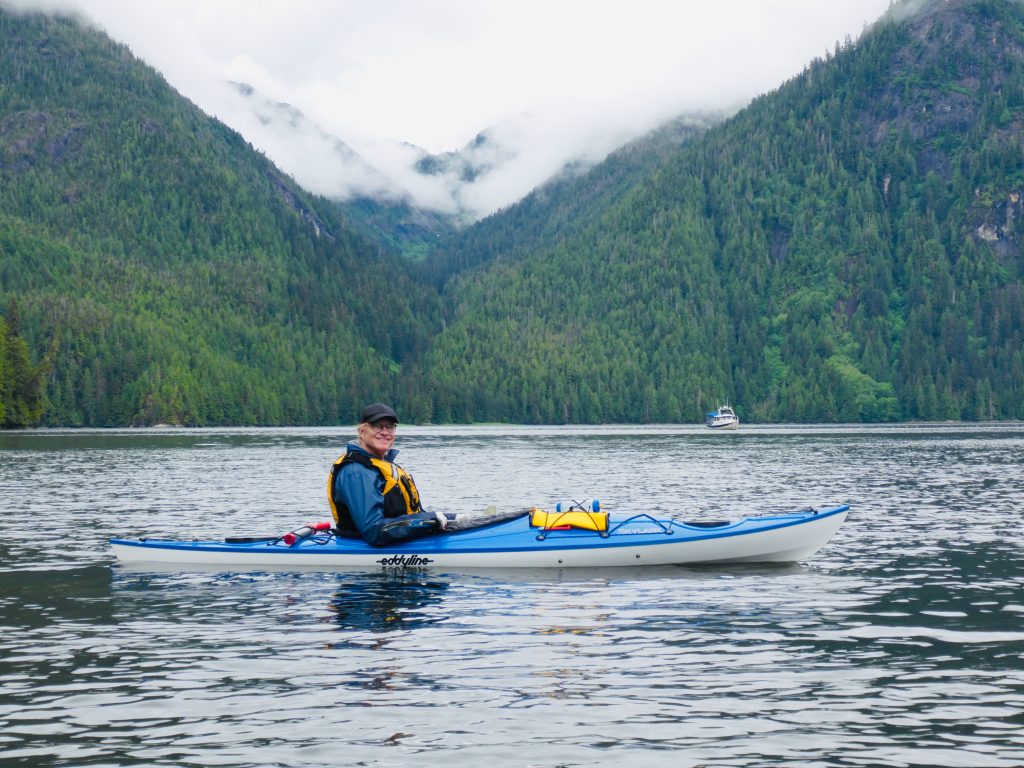
Bill Ryan, in Walker Cove
Bill, in Walker Cove
After a long, rough passage down Behm Canal yesterday, we arrived at friendly Knutson Cove Marina (really nice people), in the hamlet of Clover Pass, where we tied up for the night. We’re gassed up now and heading out—for Meyers Chuck, about 26 NM to the northwest.

Knutson Cove Marina (Bill Ryan)
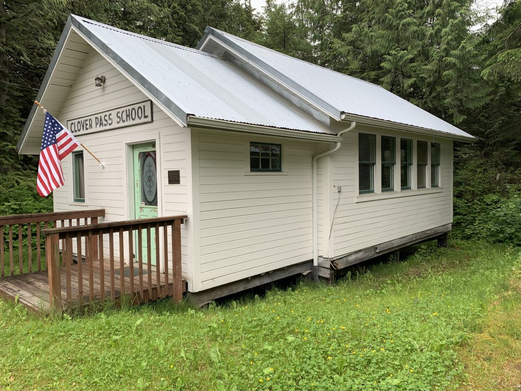
Clover Pass School (Bill Ryan)
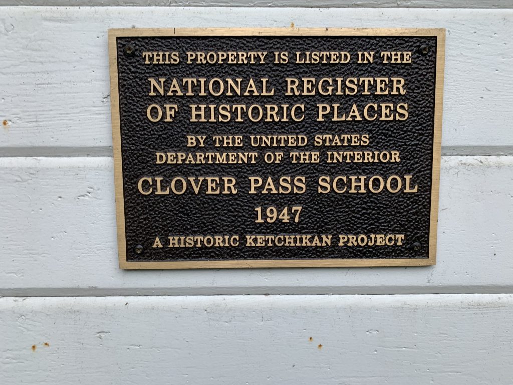
Clover Pass School (Bill Ryan)
Crew change in Ketchikan
Crossing the border into Alaska
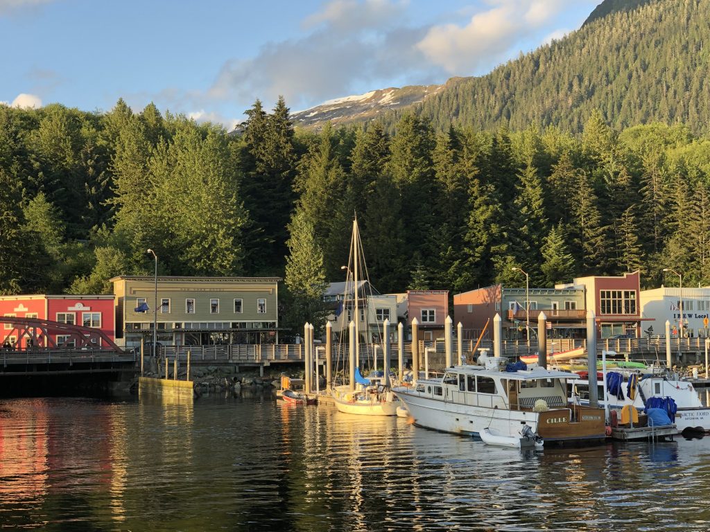
I’M SLEEPING ASHORE TONIGHT in a room my brother Bill rented at the Inn at Creek Street, in Ketchikan. Sam Farmer and I reached This Southeast Alaska city at 8 this morning, and Bill flew in from New York later in the day. Sam flies out tomorrow, and Bill and I head for Misty Fiords National Monument.
Ketchikan was bustling today, with tourists from at least three enormous cruise ships filling the streets, and boats competing in the 750-mile R2AK (Race to Alaska) race were beginning to trickle in. On the waterfront shuttle bus I met a crew member from the Sail Like a Girl team, winner of last year’s race. This year they came in fourth, she told me—would have finished third, but they broke a stay. Using only human and wind power, these intrepid racers started at Victoria, B.C. six days after the Osprey, with its twin 50 hp motors, left Kenmore. Some of them beat us here by a day.
Along the way, from Prince Rupert to Ketchikan, we saw:
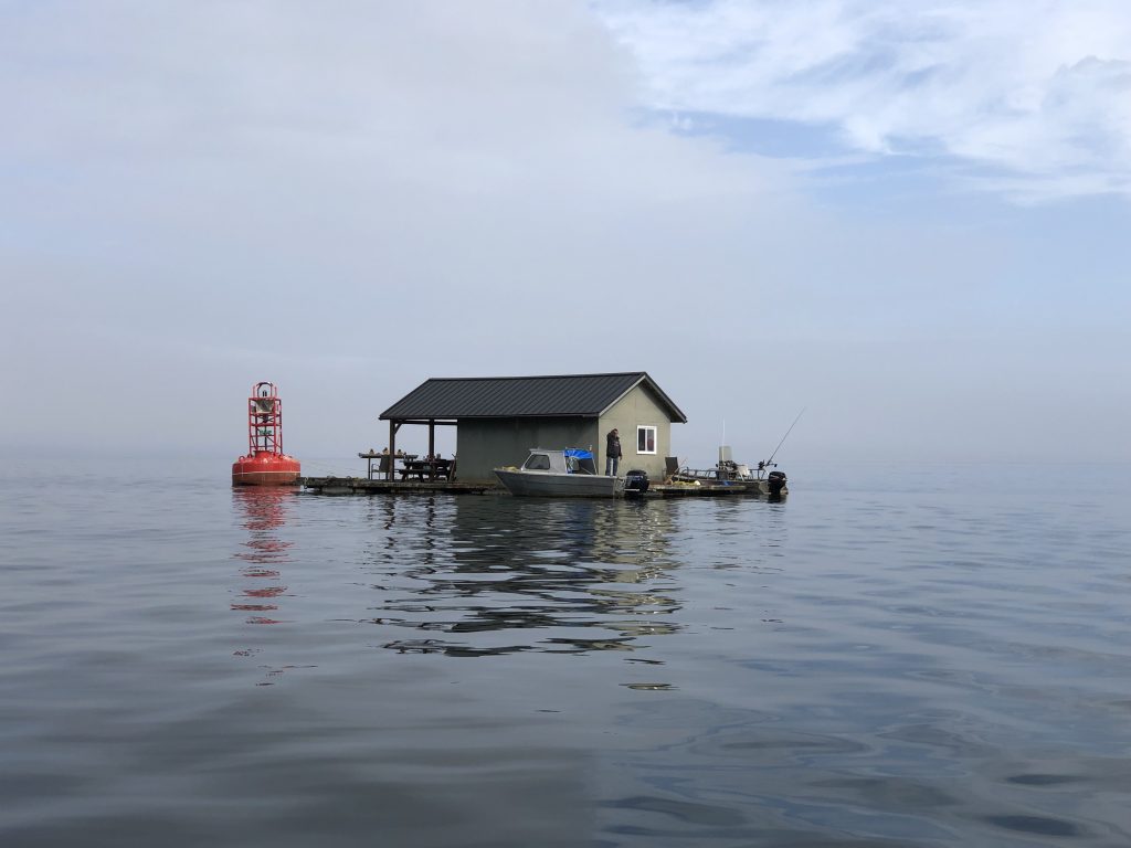
Floating house tied to channel marker in Chatham Sound
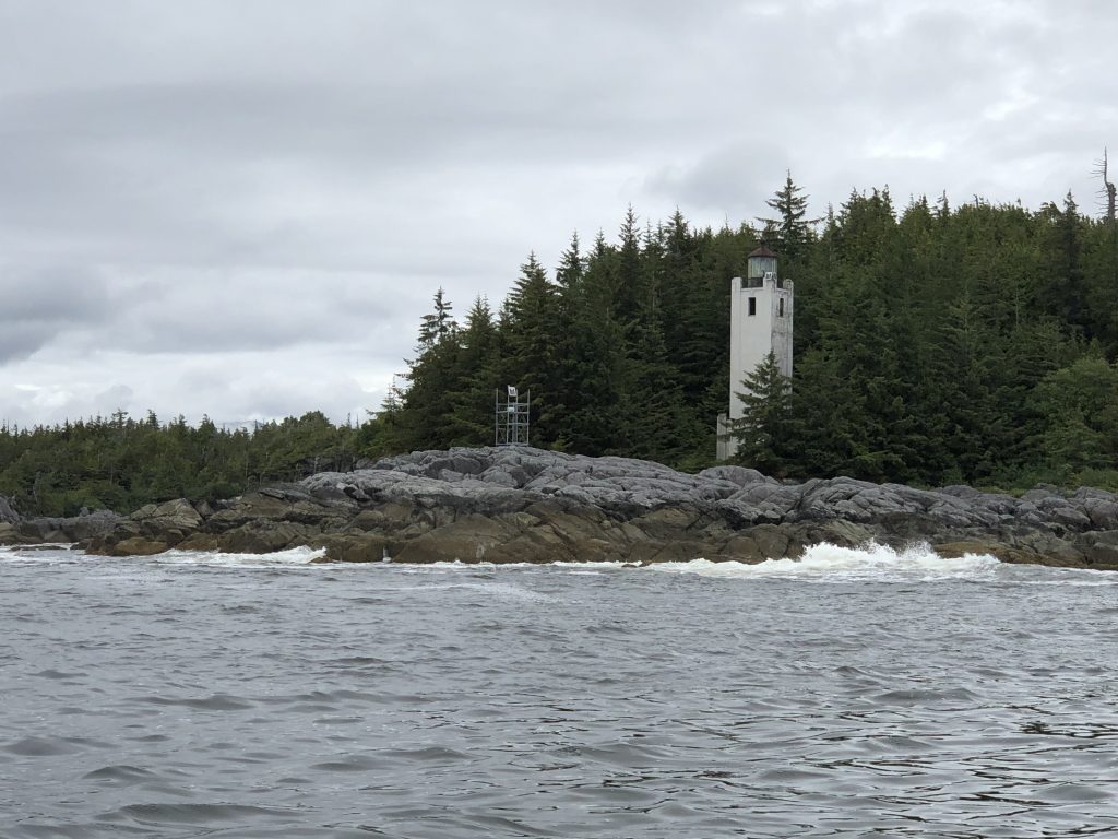
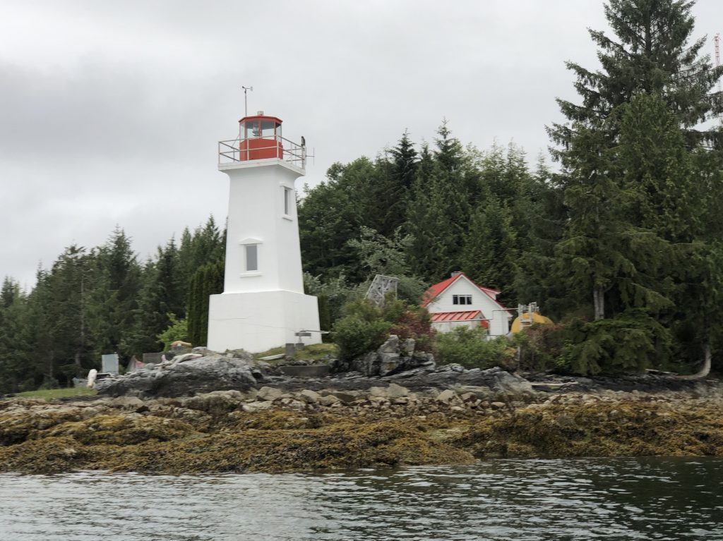
Cape Fox Light

In Foggy Bay
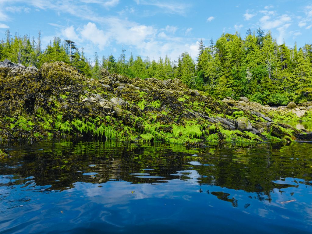
In Foggy Bay
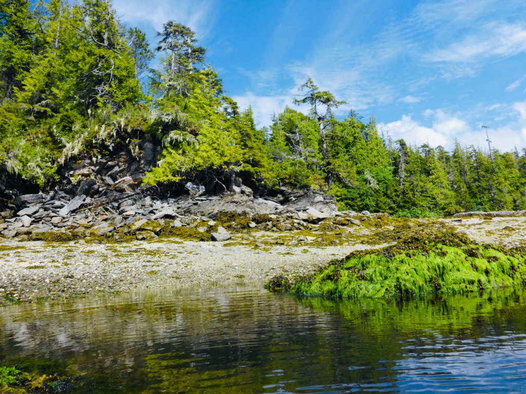
In Foggy Bay
In Foggy Bay

In Foggy Bay
Sam Farmer, Foggy Bay
Sunset at Foggy Bay anchorage
Ketchikan
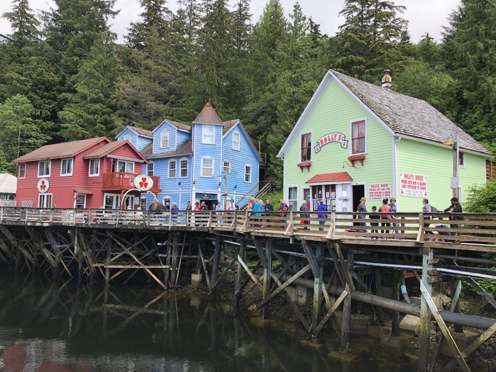
Why people visit Ketchikan
Kumealon Bay to Prince Rupert
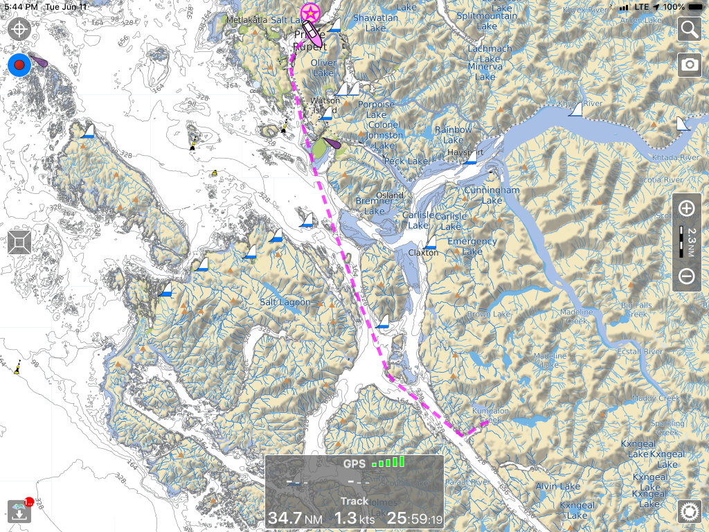
MAN, DID IT RAIN LAST NIGHT. We were anchored in Kumealon Bay, after a slow slog up Grenville Channel from Hartley Bay, and the downpour sounded like someone was pouring gravel on Osprey’s roof. The recaulking work I did on my roof rails earlier this spring proved effective, however, and we had a dry, comfortable night—lulled to sleep finally by the sound of the rain and the gentle rocking of the boat.
Now we’re in Prince Rupert, and after a day of boatkeeping—laundry, showers, tidying—it’s raining again. That’s OK. I’m equipped for it, mentally and gear-wise. This warm, dry little boat is actually a really cool way to observe this very wet place. The crew may require some persuading on this point.
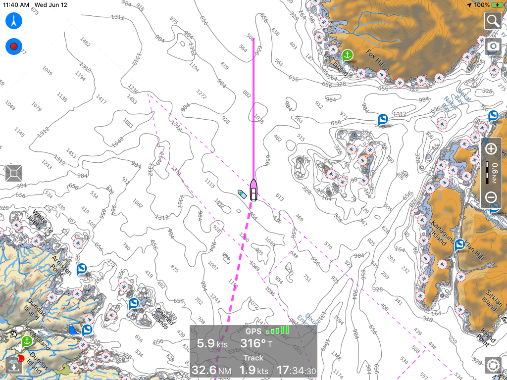
Tomorrow we cross Dixon Entrance into U.S. waters. We have already cleared Customs using the new CBP Roam app, and plan to go as far as Foggy Bay.
Along the way here:
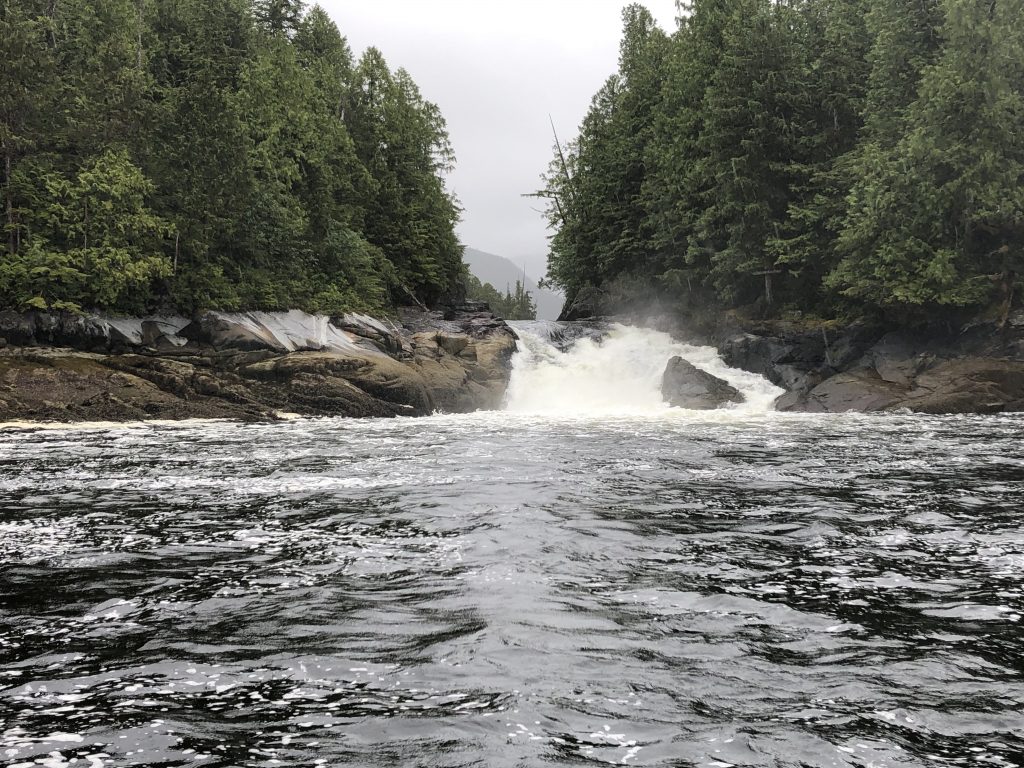
Verney Falls

Light in Grenville Channel
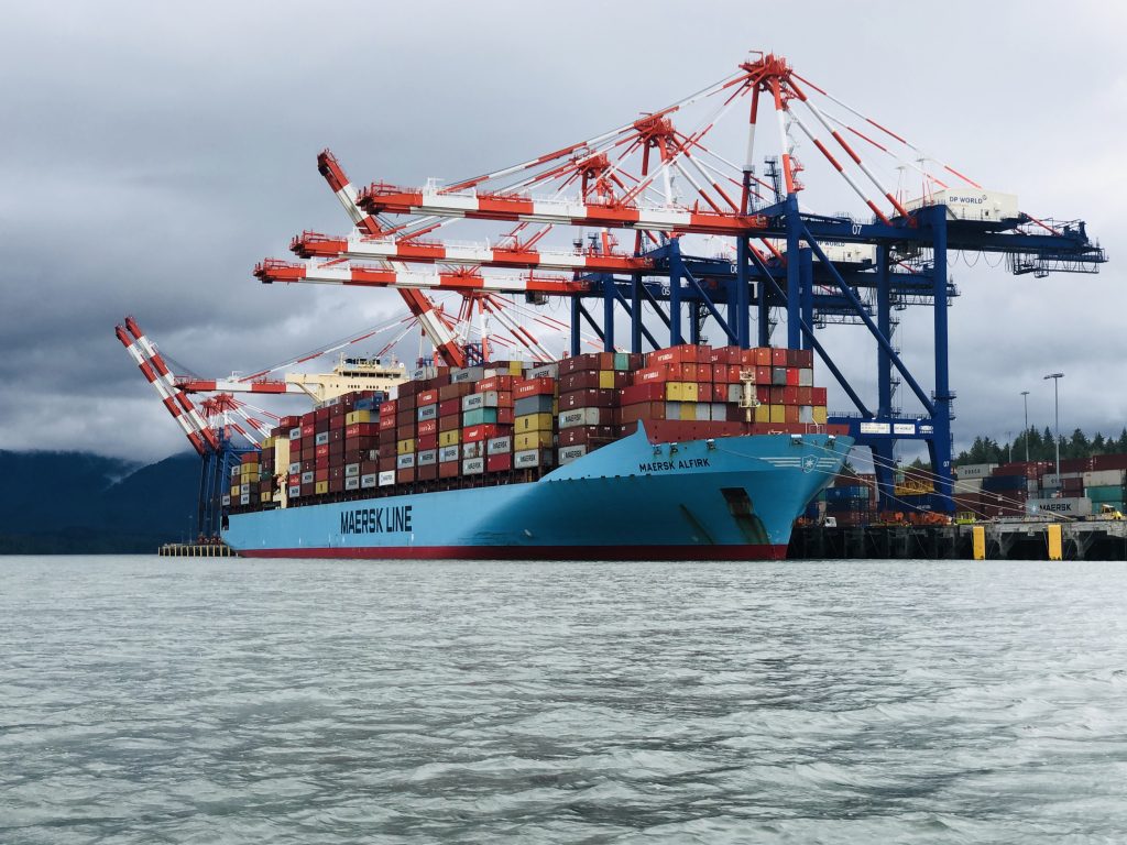
Container ship, Prince Rupert
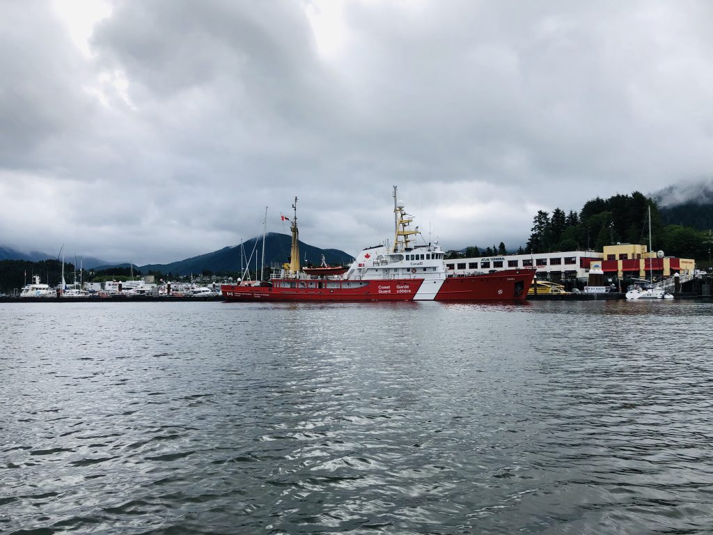
Canadian Coast Guard vessel, Prince Rupert

Sam tying up, Prince Rupert
Three knots for sailors
Sam Farmer demonstrates three essential knots for mariners:

Sheet bend
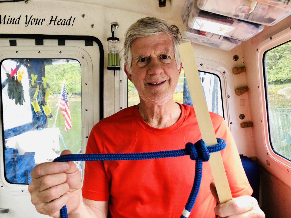
Buntline hitch

Bowline
Dead in the water at Hartley Bay
[contact-form][contact-field label=”Name” type=”name” required=”true” /][contact-field label=”Email” type=”email” required=”true” /][contact-field label=”Website” type=”url” /][contact-field label=”Message” type=”textarea” /][/contact-form]
THERE WAS A TACO PARTY at the Hartley Bay dock this afternoon, where a half-dozen boaters are waiting for gas. The 2019 Waggoner Cruising guide alleges fuel is sold weekends at this neat little First Nations village on Douglas Channel. We all believed the guide book—and now we’re waiting for tomorrow, Monday, when it is said gas sales will resume.
This is the last gas stop on the way north to Prince Rupert, and none of the boaters stuck here (some who have been waiting here since yesterday) has enough fuel to proceed.
It doesn’t matter. Sam and I planned to dock here overnight anyway, and we’re tied up right next to the taco party, and have been invited to a strip steak party later this afternoon.
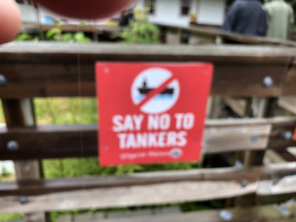
While we waited for gas and steak, we went for a walk around the village. Hartley Bay is home to the Gitga’at Nation. The Gitga’at people Tsimshian, and traditionally a matrilineal society. Clans affiliation, crests, names, and resource gathering areas are inherited from the mother’s side of the family. The village is located at the mouth of Douglas Channel, about 630 kilometers north of Vancouver and 145 kilometers south of Prince Rupert.
According to the Gitga’at website, “The wellbeing of their people is intricately related to the health of their lands, waters, and resources, and the community continues to work to sustain their abundance and richness.” We see some evidence of that in the “Say No to Tankers” signs.
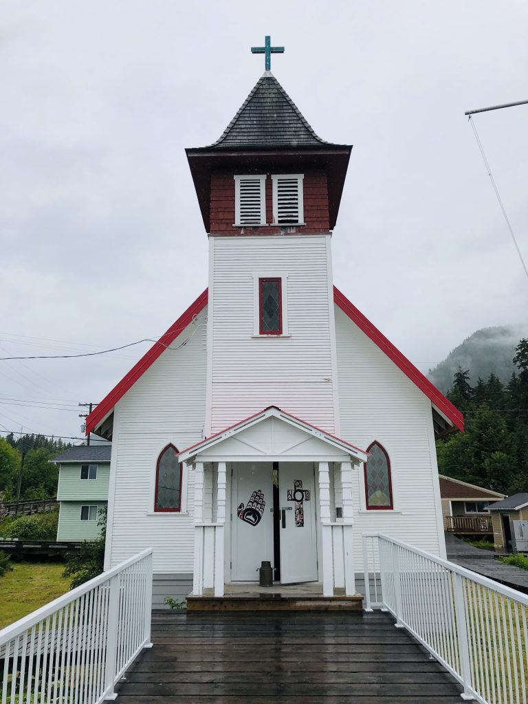
The village’s buildings are connected by boardwalks, and there are no cars—just golf carts and ATVs. This Sunday there are few people on the boardwalks. Fewer than 200 Gitga’at live in Hartley Bay year round, another 450 or so live off-reserve. The only two public buildings opened this Sunday are the little Emmanuel United Church and the community center. The door to the church was open. Worship services are held year round, and there were flowers at the altar and hymnals in each pew.
The door to the community center was open, too. There was a sign, “No restrooms. Please don’t ask,” a reminder that rural public utilities are often limited. There are no public restrooms on the dock or anywhere in town that we could find. So we headed back to the boat.
I haven’t blogged since Alert Bay, and in those five days we have traveled 327.7 nautical miles—for a total of 652.6 NM since the trip began. We have 178 more to go before we reach Ketchikan.
Some of the sights we’ve seen along the way include:

The door to the community center was open. There was a sign—“No restrooms. Please don’t ask”—a reminder that services are generally limited in the small villages along the Inside Passage. There are no public restrooms on the dock or anywhere in town that we could find. So we headed back to the boat.
I haven’t blogged since Alert Bay, and in those five days we have traveled 327.7 nautical miles—for a total of 652.6 NM since the trip began. We have 178 more to go before we reach Ketchikan.
Some of the sights we’ve seen along the way include:
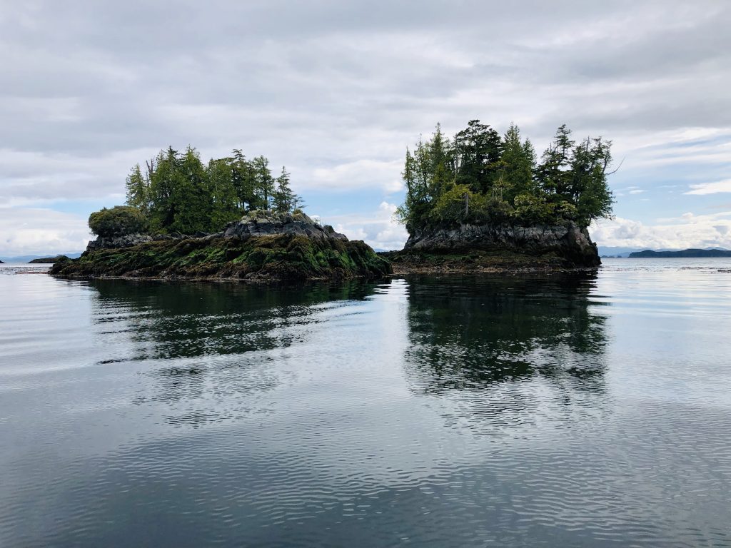
Islets in Queen Charlotte Sound
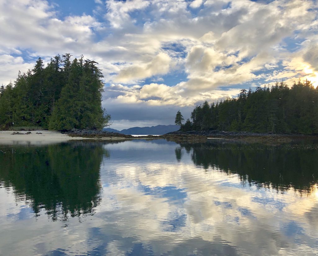
Our anchorage at Fury Cove
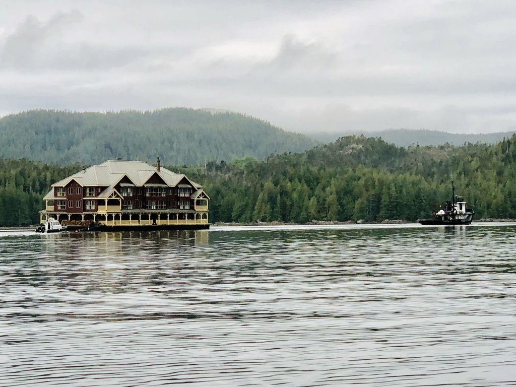
A huge three-story lodge being towed north through Lama Passage, near Bella Bella
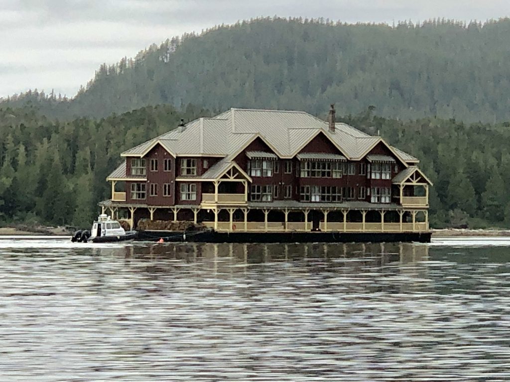
Look at the size of this sucker
Lighthouse at Dryad Point
Public dock at Klemtu


Totems, in Klemtu longhouse
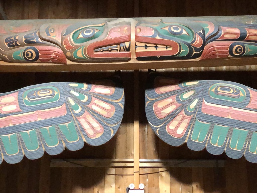
Detail
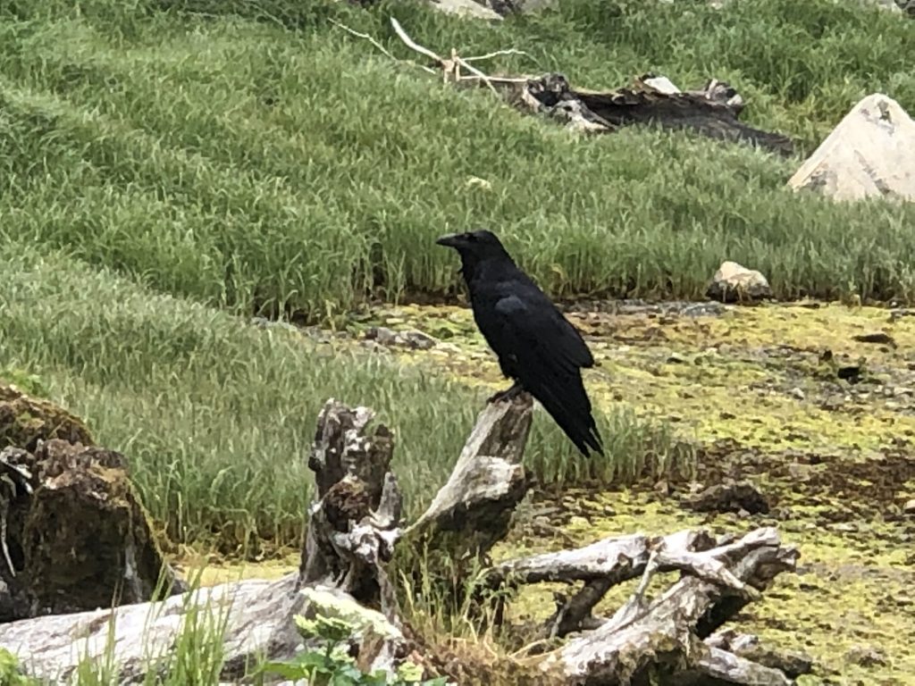
Our first raven
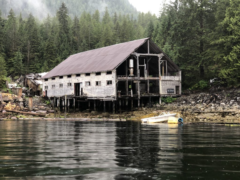
Abandoned cannery at Butedale
Melting away

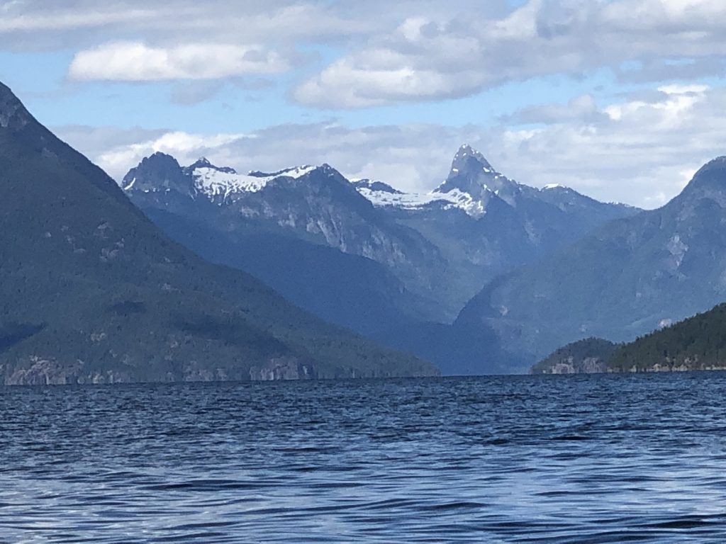
Butedale Passage
Desolation Sound to Alert Bay
In Desolation Sound
IT WAS 88 NAUTICAL MILES from Squirrel Cove, in Desolation Sound, up windy Johnston Strait, to Alert Bay. On the way to the First Nations fishing town, we passed three large salmon net pens, owned by Norwegian aquaculture companies.
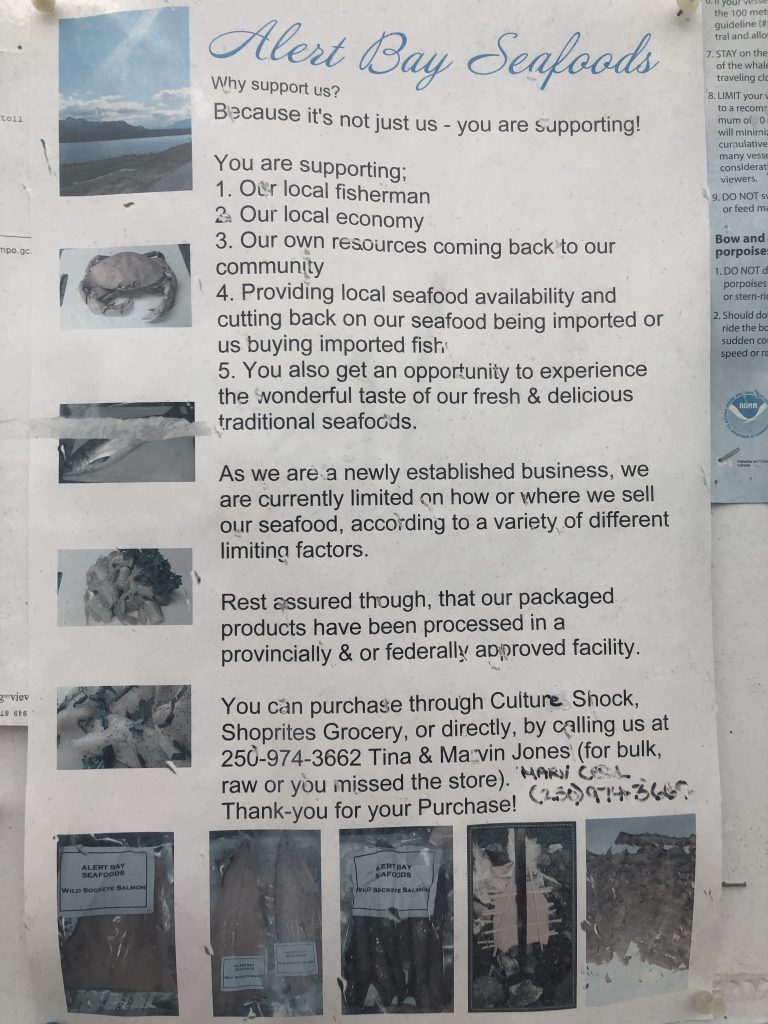
Aboriginal people have been fishing these waters for hundreds of years, and people in Alert Bay believe the net pens threaten the environment and their livelihoods.
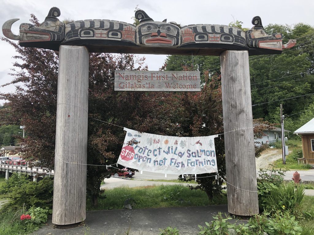
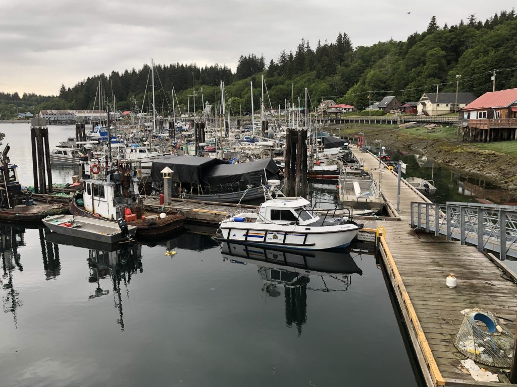
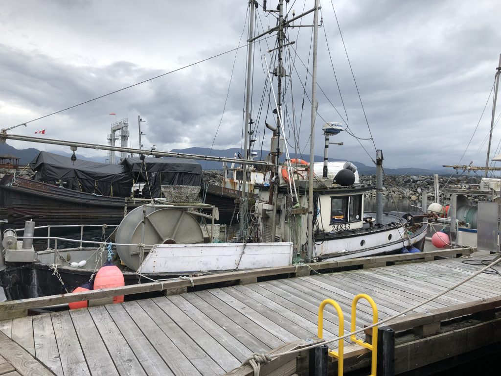
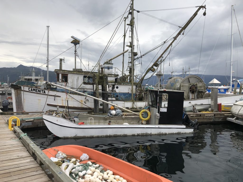
Alert Bay
During breakfast at the Bayside Grill, where we ate local halibut and chips the night before, I met a friendly man named Art Shaughnessey. Art grew up in Alert Bay, and his family’s last name was Maxwa (he has it in his license plate) before the authorities changed it, a hundred years or so ago, to something they could pronounce. When Art grew up, he went off to become one of the first aboriginal members of the Royal Canadian Mounted Police.
In the time he served with the RCMP, Art never felt accepted, never felt like a member of the white boys’ club. But he toughed it out and stayed—for 35 years. Good for you, Art!
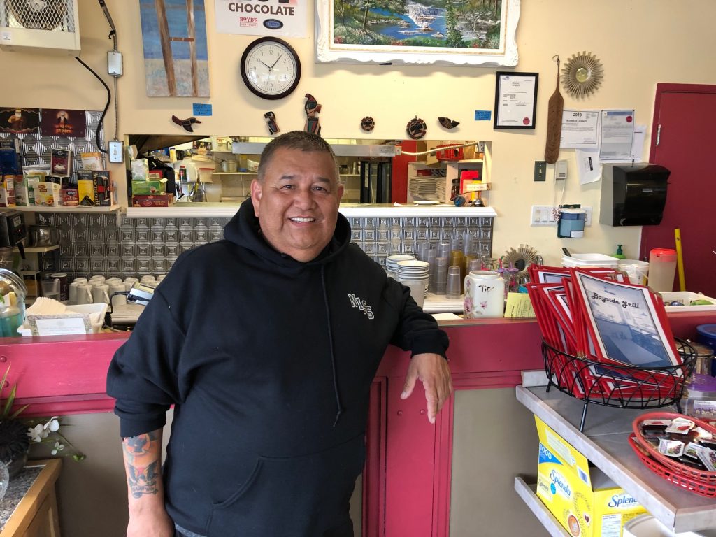
Art Shaugnessey
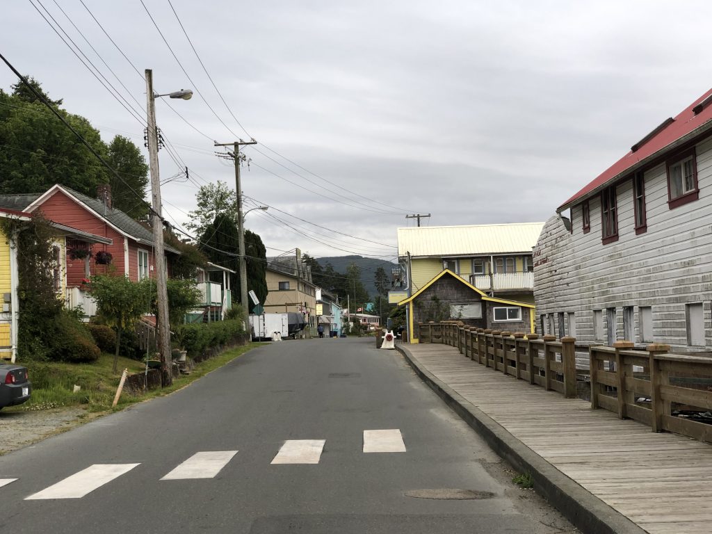
Fir Street, Alert Bay’s main drag
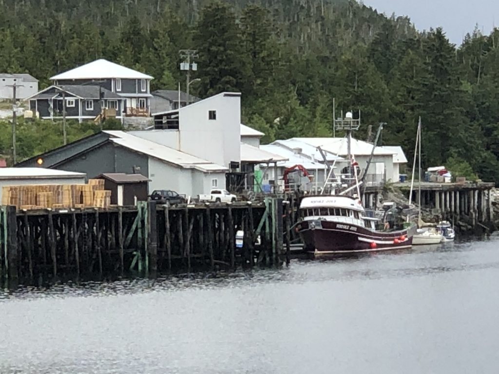
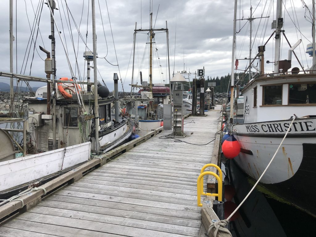
Fishing, for wild fish, is the main business in Alert Bay
Night in Nanaimo
Blakely to Nanaimo
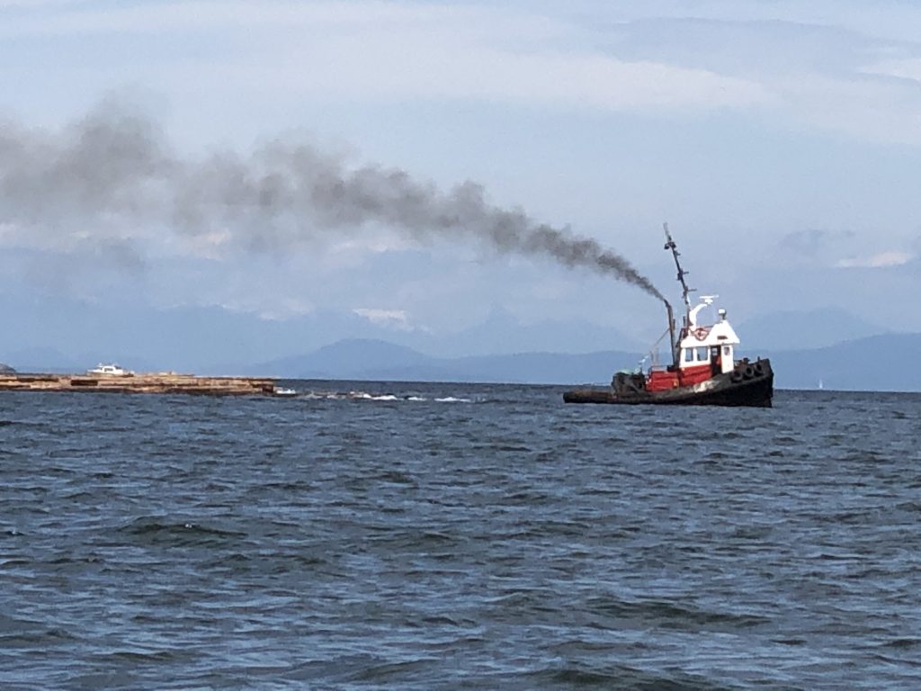
Tug and log raft
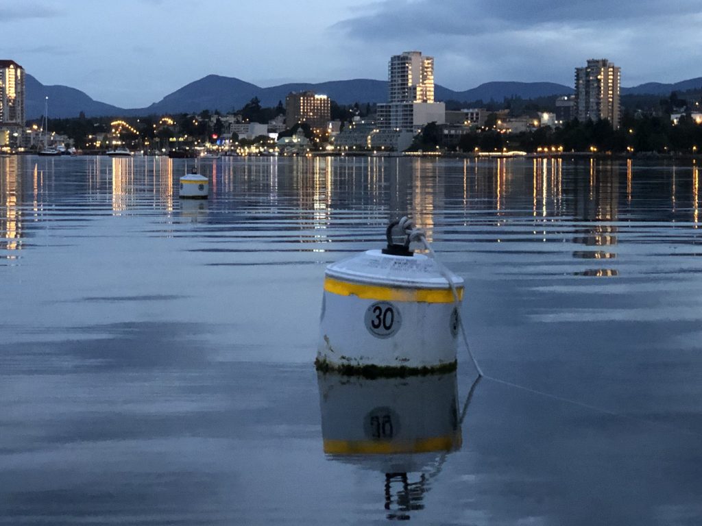
Lights of Nanaimo
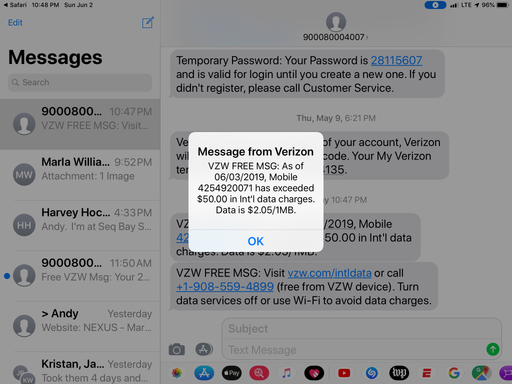
Aaaack!
THIS IS LIKELY TO BE THE LAST night I’ll have an Internet connection for a while—and a good thing it is, because the wireless vultures have descended on me in force.
Great trip today from Blakely Island up to Nanaimo, where we gassed up. Then we moored in Mark Bay, on Newcastle Island, and went for a paddle. I showed Sam how to perform a bow rudder stroke; then I heard a big splash behind me and saw he had capsized. The water in Mark Bay was very warm, and Sam seemed to actually enjoy his involuntary dunking.
After dinner of Mountain House beef stroganoff, I sat down in the back porch, looking out across the bay at the lights of Nanaimo—and my iPad started ringing as Verizon started sending me bills for the past three days of service. It was supposed to be $5 a day for their travel plan, but somehow—they allege—I have already rung up $50 in charges.
Anyway, we’re heading out across the Strait of Georgia tomorrow, to a place where (I pray) the wireless vultures can’t find us. The weather forecast calls for light winds Monday morning, and with any luck we may make it as far as Desolation Sound.
I’ll be able to send short messages to this blog using my Garmin inReach satellite device, but no pictures and—hooray!—no cellular data!
Rough crossing to the San Juans
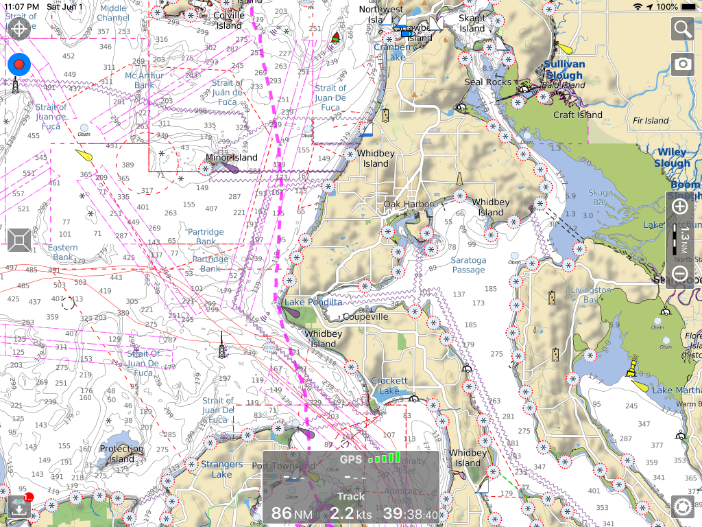
Port Townsend to Watmough Bay

Wild roses on Blakely Island
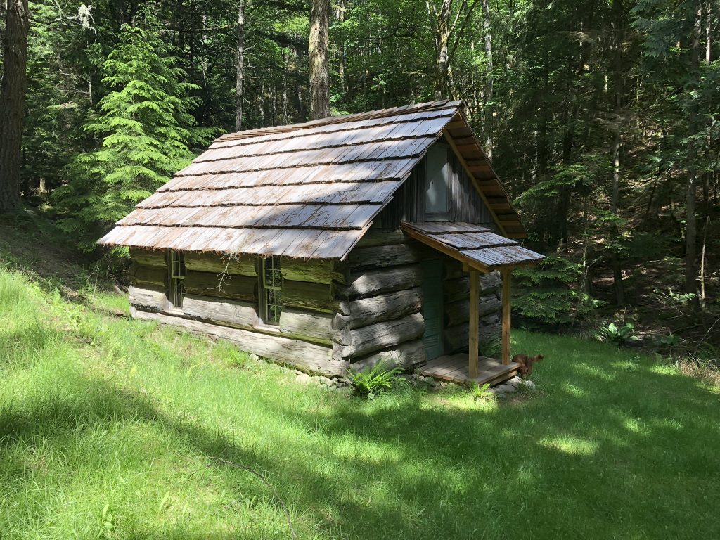
Blakely Island school house
SAM AND I LEFT PORT TOWNSEND at 7:30 this morning, and as soon as we got around Point Wilson, we were in nasty four- and five-foot seas blowing down the Strait of San Juan de Fuca from the Pacific. I was navigating without my reading glasses, and as we approached Partridge Point, on Whitney Island, I failed to notice the chart notation warning of kelp.
The water intakes on Osprey’s twin Tohatsu 50 engines clog easily, and before I could get out of the kelp bed, the overheating alarms on both motors started screaming. It took a couple of minutes to shut down the engines, get them lifted out of the water, clear the kelp from the intakes and get started back up—and then we were back in big, confused waves all the way to Watmough Bay on the south end of Lopez Island. Yipes!
From there it was smooth sailing through Lopez Pass up to Blakely Island, where we met Ellen, an old friend from grade school who has a vacation home there. Ellen gave us a tour of the big private island in her old Ford Explorer, with stops at the pretty lake which is the source of the island’s fresh water supply, and at an old one-room log school house. After a fantastic dinner, we’re heading off to bed. We plan an early start this morning for our entry into Canadian waters.
Andy’s wife was born this day, in 1956. Happy birthday, Marla Jean!
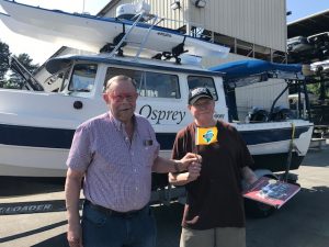
Thanks Harvey

Harvey Hochstetter and Andy Ryan at Mystery Bay, Marrowstone Island
HARVEY HOCHSTETTER DROVE his 22-foot C-Dory Sleepy C down to meet us, from Sequim, on the first day of our trip, Friday—and escorted us all the way back up to Mystery Bay, on Marrowstone Island. We hung out there on the state park dock before Sam and I headed over to Port Townsend, where we spent the night at the Point Hudson Marina.
We’re off!
Kenmore Mayor David Baker wishing us a bon voyage as we prepare to launch at Northlake Marina.
We’ll be leaving Kenmore Harbor in about a half-hour, bound today for Point Hudson Marina, in Port Townsend. Today’s Puget Sound marine forecast calls for “variable wind to 10 knots, becoming south in the afternoon. Wind waves 1 ft or less. Patchy fog in the morning.”
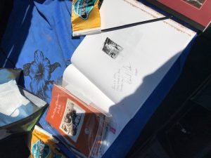
Yesterday afternoon, we launched Osprey at North Lake Marina. Kenmore Mayor David Baker and his delightful wife Sheri stopped by to wish us bon voyage, and to provide us with gifts to take to towns in Alaska.